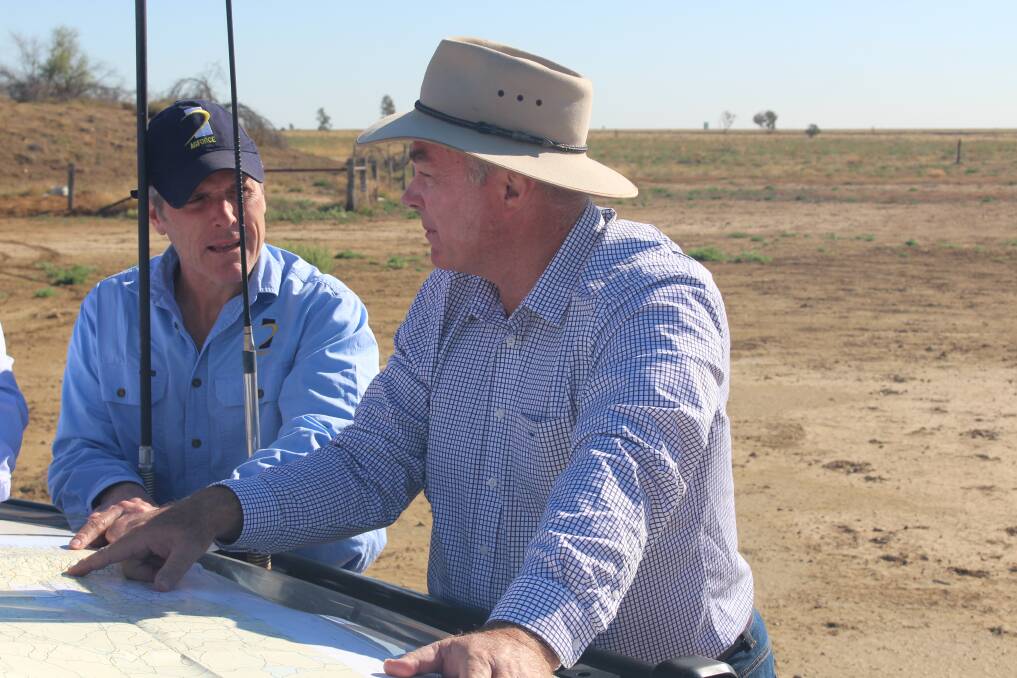
The latest satellite snapshot of land clearing in Queensland - the Statewide Landcover and Trees Survey - should put paid to "outlandish claims by greenies" that the state is a deforestation hotspot, according to AgForce CEO Michael Guerin.
Commenting on the report's release at the end of December, Resources Minister Scott Stewart said its figures showed progress in protecting vulnerable areas, which showed the government's laws were working.
He said the Palaszczuk government would continue to work with stakeholders to reduce damage in other vegetation areas.
According to the SLATS report, 0.2 per cent of regulated vegetation in Queensland was cleared for sustainable production in 2018/19.
The limited amount of unexplained clearing of remnant vegetation has remained the same since 2017, at 0.04 per cent of the vegetative cover.
The amount of vegetation cleared overall, 680,688ha, is up from the 356,000 ha cleared in 2016/17 but represents 0.7pc of the state's woody vegetation, and is the result of higher resolution technology being introduced.
It captures images at a 10m resolution, compared to the previous 30m resolution.
The change in the methodology means the data from the latest report can't be directly compared with previous SLATS data, and Mr Guerin said more time was needed to paint an accurate picture of deforestation using SLATS data year-on-year.
"What we can say is that there has been no significant clearing of trees in Queensland, and sensational claims of land clearing are myths," he said.
"This latest information tells an undeniably good story, and with so much at stake these days - environmentally, climatically, socially, and economically - it's never been more important to spread a positive message.
"The findings are testament to the hard work of landowners, who have made great efforts with sustainable land management during particularly challenging times and tough drought conditions.
"They value protected plant and animal species, and they are united in their desire to produce safe, delicious, healthy food for the rest of us in Australia and throughout the world."
'Carbon bomb'
WWF-Australia conservation scientist Dr Stuart Blanch immediately described the report as a "carbon bomb for the Queensland and federal governments", saying it showed they were vastly underestimating carbon emissions from land clearing, which would jeopardise net zero commitments and 2030 abatement targets.
Australian Beef Sustainability Framework chairman Mark Davie said the "carbon bomb" was the 700 million tonnes of carbon dioxide emitted by the 2019/2020 bushfires, which doubled Australia's national carbon emissions for that year and wiped out millions of native species.
"The last 20 years have seen global NGOs influence government policy on the practice and reporting of vegetation and fire management with solutions that do not recognise our unique ecosystems and landscape," he said.
"Our fires have moved from the forest floor to the canopy.
"A failure to implement vegetation management practices across our landscape is the biggest risk to our native flora and fauna and our carbon neutral 2050 target."
Greenshirts Movement director Joanne Rea expressed concern with Mr Stewart's comment that the government would continue to work with industry and the community on the best ways to manage land clearing, saying that indicated issues other than illegal clearing were in the headlights.
"Some groups, somewhere, are, not for the first time, playing dangerous games with us and we do not know what the rules are," she said. "You can bet that the federal government's plan to use carbon credits for emissions reduction will be hotly criticised and contested during the election campaign based purely on misconstrued headlines."
A high proportion of the clearing in regulated vegetation areas can be attributed to:
- exemptions given to clear for fodder purposes during the drought,
- legacy exemptions (clearing under PMAVs)
- clearing for fire breaks and trails, and
- some excessive clearing around the amendment of vegetation management laws
Both Mr Guerin and Mr Davie were disappointed to see that the latest SLATS report did not include regrowth, thickening and bio-condition data.
"The report does not provide an effective description or breakdown of the reasons for clearing, creating a perception that producers clear trees because they do not care for the environment," Mr Davie said.
"Acceptable clearing under PMAVS is now referred to as legacy exemptions.
"SLATS does not break down the permitted clearing for fence lines, tracks, fire lines, firebreaks.
"It also doesn't discuss the large amount of tree deaths due to drought conditions that have been reported."
Acting Minister for the Environment and Science Steven Miles said a scientific expert group would be established to help understand the factors behind the latest clearing, identify incentives to help avoid clearing and advise if other measures were needed.
The make-up and terms of reference for the working group will be finalised early this year.
"Our government understands the importance of relying on science and expert knowledge when it comes to protecting vegetation," Mr Miles said.
According to the Food and Agriculture Organization of the United Nations, Australia is second in a list of top 10 nations for reforestation, with an average net gain in forest area between 2010-2020 of 446,000 hectares each year.
Australia's State of the Forests Report 2018 shows steady forest growth during the previous five-year period and the 2019 National Greenhouse Gas Inventory Report shows growth of approximately 160,000 hectares since 2008.
Analysis of currently available data found that the extent of vegetative cover and vegetation density in Queensland are both increasing and that high ecological value areas are protected.
ALSO IN THE NEWS:
Want daily news highlights delivered to your inbox? Sign up to the Queensland Country Life newsletter below.


